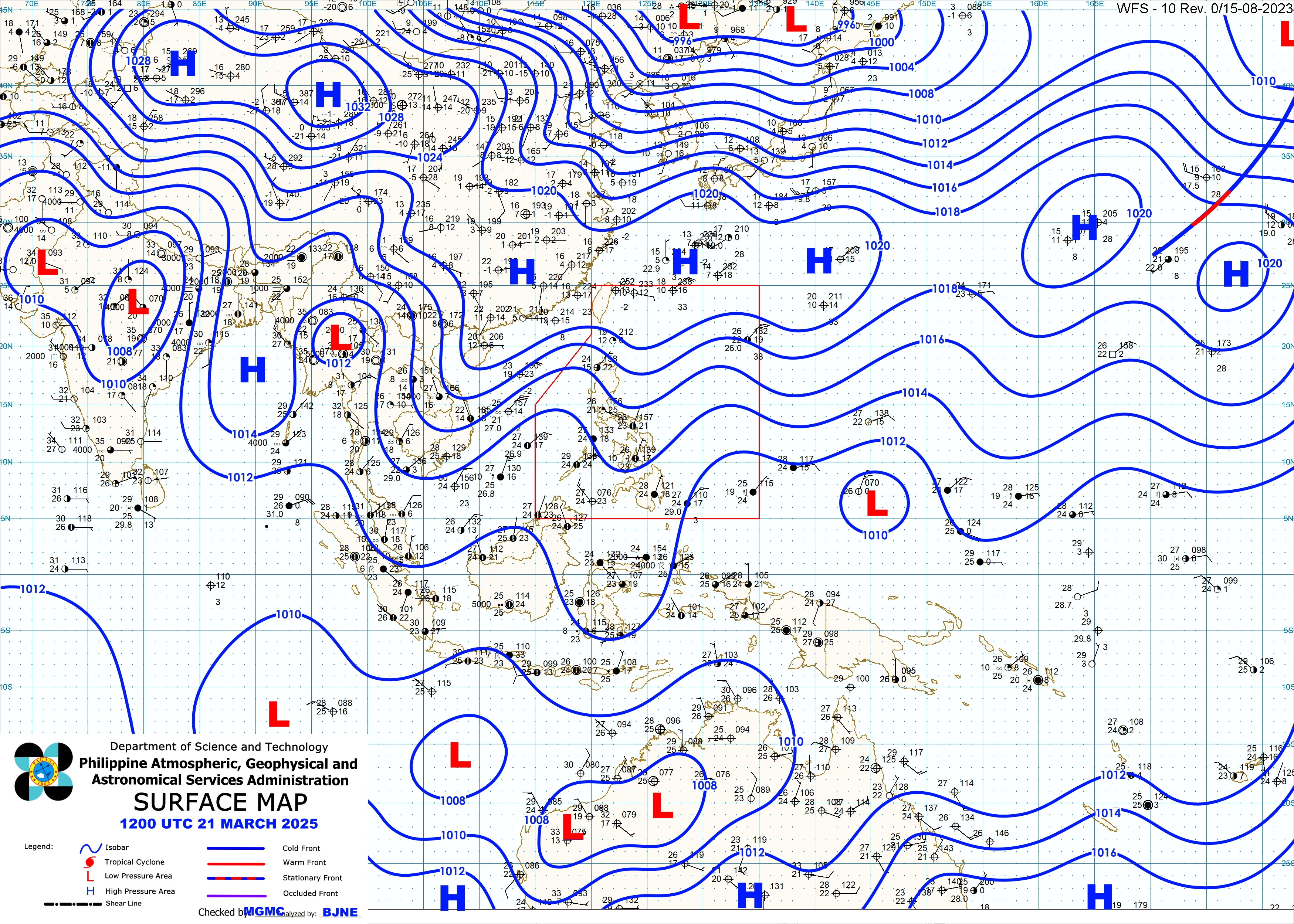
Philippines - Typhoon ‘Butchoy’ intensifies as it slowly exits the Philippine Area of Responsibility.
‘Butchoy’ was last spotted at a distance of 750 kilometers east of Calayan, Cagayan, moving towards northwest with a speed of 30 kilometers per hour.
The said typhoon carries strong winds of up to 195 kilometers per hour and gustiness of up to 230 kilometers per hour.
Tropical Cyclone signal number 1 is raised in Batanes Group of Islands.
‘Butchoy’ is being intensified by the southwest monsoon, which causes rains in southern Luzon and Visayas. |
In a report from PAGASA DOST Weather Center in its 5PM forecast today,06 July 2016
The eye of Typhoon "BUTCHOY" was located based on all available data at 615 km East of Basco, Batanes (19.8°N, 127.8°E) with maximum sustained winds of 210 kph near the center and gustiness of up to 245 kph. It is forecast to move Northwest at 30 kph. Southwest Monsoon affecting Southern Luzon and Visayas.
Image |  Analysis |
Forecast: Rains with gusty winds is expected over Batanes group of islands. Cloudy skies with light to moderate rains and thunderstorms will be experienced over Visayas, Mindanao, CALABARZON, Bicol region, MIMAROPA and the provinces of Cagayan and Isabela. Partly cloudy to cloudy skies with isolated rainshowers or thunderstorms will prevail over Metro Manila and the rest of the country.
Moderate to strong winds blowing from the southwest will prevail over Visayas, Mindanao and the rest of Luzon. The coastal waters along these areas will be moderate to rough.
with reports from Emanym Si Yaj and

No comments:
Post a Comment